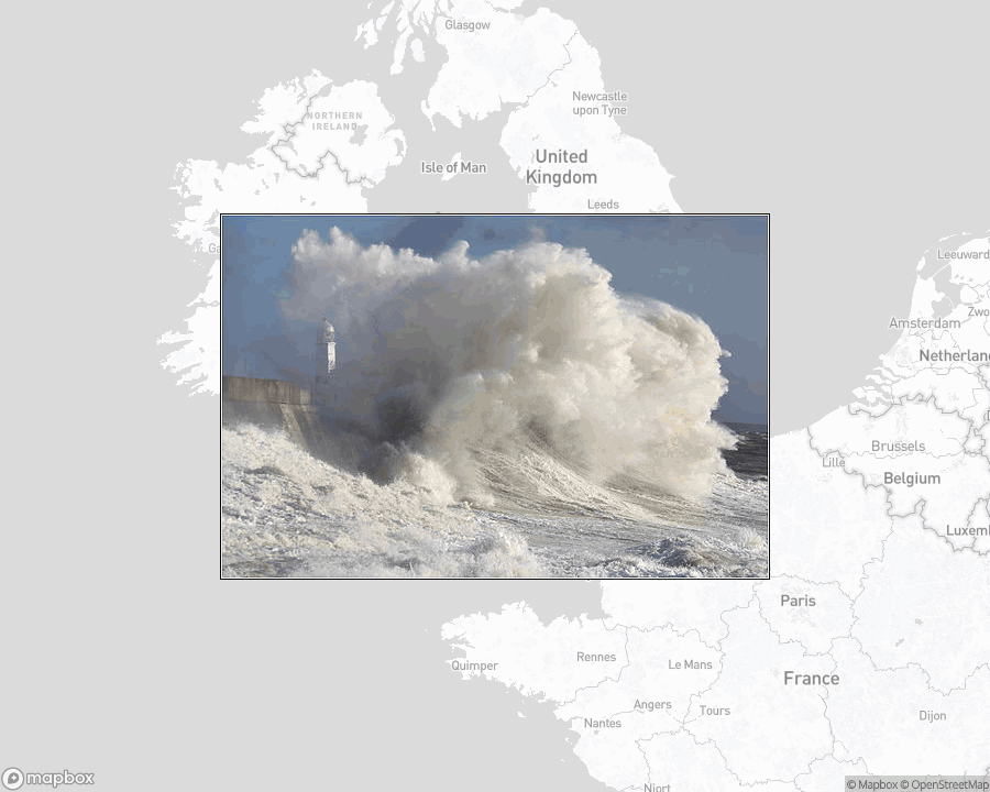
Porthcawl Lighthouse, lighthouse in Bridgend County Borough, Wales.
map
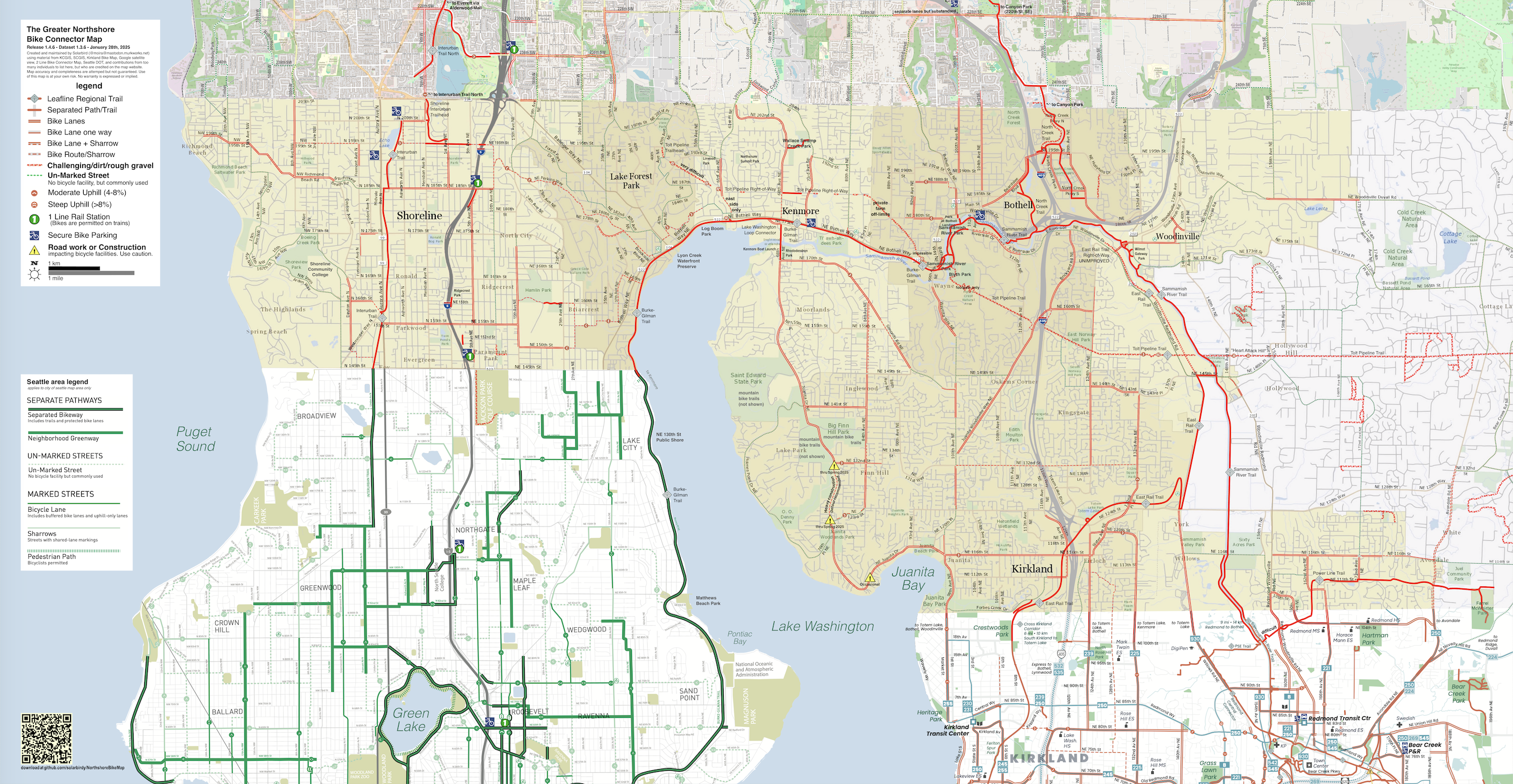
RELEASE: Greater Northshore and MEGAMAP versions 1.4.6.
Changes this release:
* Addition of a "Difficult" label on Power Line Trail
* Removal of a bike store icon in Roosevelt and 84th
* Addition of fully-separated bike lane on 11th Ave NE from 47th to Ravenna, and on 12th Ave NE from Ravenna to NE 69th
* Waterfront Trail: Yesler to Union now open
* Eastlake from Fairview to John now has separated bike lanes
https://github.com/solarbirdy/NorthshoreBikeMap/
Previous permalinks continue to work. If you like these maps, maybe hit my Patreon?
https://www.patreon.com/solarbird
Thanks!
#BikeMap #northshore #seattle #Shoreline #LakeForestPark #Kenmore #Juanita #Bothell #Kirkland #Woodinville #Redmond #SnohomishCounty #maps #map
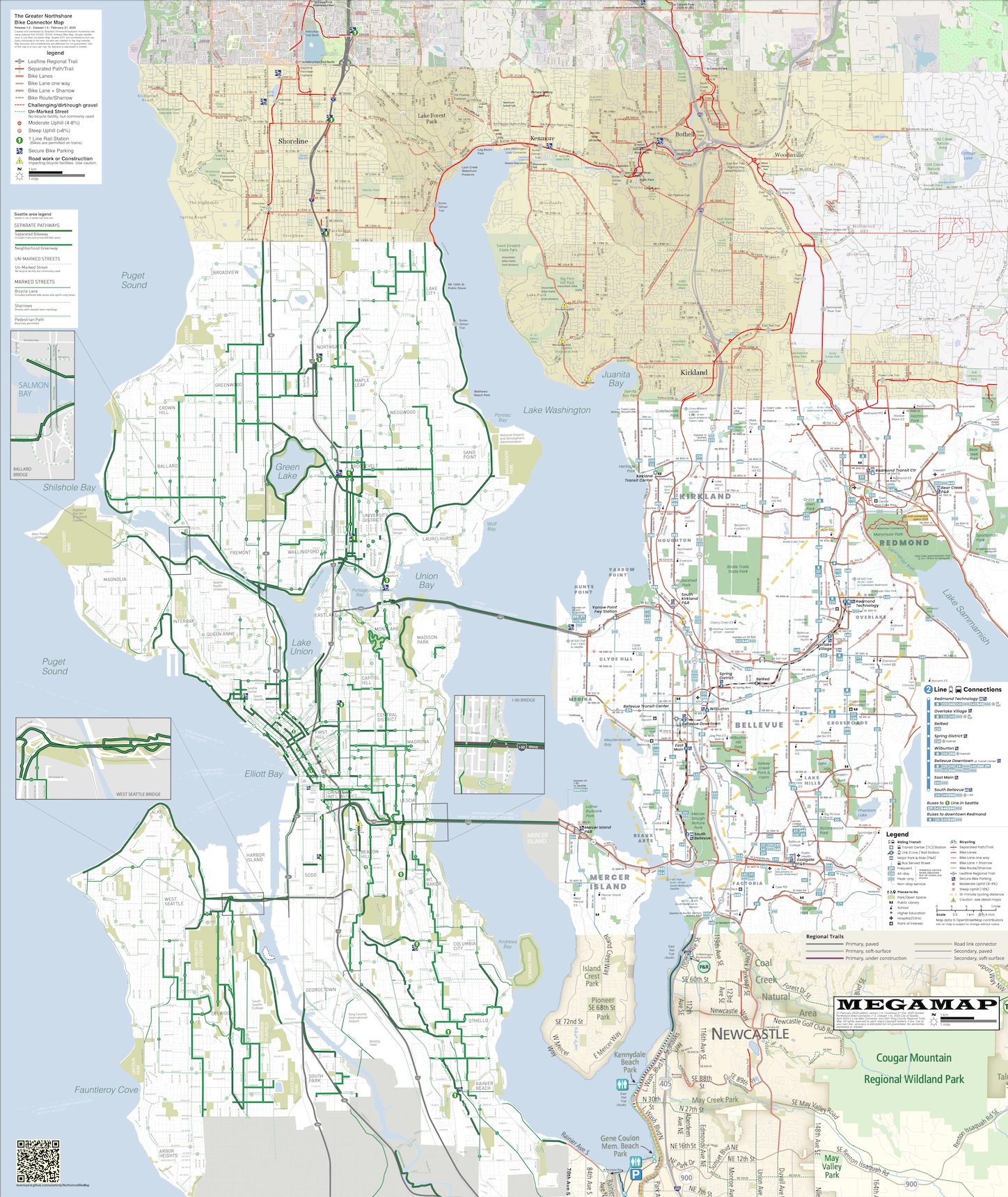
RELEASE: Greater Northshore and MEGAMAP Bike Maps version 1.5 - 21 February 2025
Additions and changes this release:
* ALL OF NEWCASTLE. Thanks to Kerry Sullivan for help with May Creek Park Drive construction data
* NORTHERN RENTON, including substantial upgrades to Lake Washington Loop markings
* Bike lanes around 100th Ave W. in Edmonds
* Upgrade to 15th Avenue S in the Seattle map – bike lanes now have physical separation.
https://github.com/solarbirdy/NorthshoreBikeMap/
Previous permalinks continue to work.
If you like these maps, maybe hit my Patreon:
https://www.patreon.com/solarbird
Thanks!
#BikeMap #northshore #seattle #Shoreline #LakeForestPark #Kenmore #Juanita #Bothell #Kirkland #Woodinville #Redmond #SnohomishCounty #Newcastle #maps #map
RELEASE: Greater Northshore and MEGAMAP Bike Maps version 1.5.1 - 8 March 2025
Additions and changes this release:
* WATERFRONT TRAIL now open in Downtown Seattle. This is a small section opening, but it is an important connection
* HONEY DEW CREEK TRAIL in Newcastle/Renton. Turns out it's a popular paved shortcut
* Better road name markings a few places
* Warnings on 15th Avenue S bike lanes which are now _closed_ now 'til spring
https://github.com/solarbirdy/NorthshoreBikeMap/
Previous permalinks continue to work.
If you like these maps, maybe hit my Patreon:
https://www.patreon.com/solarbird
Thanks!
#BikeMap #northshore #seattle #Shoreline #LakeForestPark #Kenmore #Juanita #Bothell #Kirkland #Woodinville #Redmond #SnohomishCounty #Newcastle #maps #map
Last week we published a set of three in-depth #map reports covering territorial control across #Somalia's claimed territories from 2023 to present. The June 2024 report is free for all readers, and shows the height of "#IslamicState" (#ISIS/#ISIL) control in the country:
https://www.polgeonow.com/2025/06/somalia-territorial-control-map-2024-isis-shabaab.html
#HornOfAfrica #cartography #maps #geography #Somaliland #Puntland #SSC_Khaatumo #mapping @geography @cartography @geopolitics #AlShabaab #AlQaeda #security #OSINT
RELEASE: Greater Northshore and MEGAMAP Bike Maps version 1.6 - 18 April 2025
Additions and changes this release:
* Large expansion north to Lynnwood City Centre across all of SW Snohomish County
* Extension of Interurban Trail in Edmonds to 78th Place West.
* Improved street labelling, mostly in SW Snohomish County.
* Route indicators at map edges describing continuations to destinations such as UW and City of Snohomish
https://github.com/solarbirdy/NorthshoreBikeMap/
Previous permalinks continue to work.
If you like these maps, maybe hit my Patreon:
https://www.patreon.com/solarbird
Thanks!
#BikeMap #northshore #seattle #Shoreline #LakeForestPark #Kenmore #Juanita #Bothell #Kirkland #Woodinville #Redmond #SnohomishCounty #Newcastle #maps #map
Rural residents were upset when Oregon released a statewide map estimating property risk from wildfires.
Until then, the impacts of climate change were abstract to many people, one senator said. “This is a very big chicken coming home to roost.”
https://www.propublica.org/article/oregon-wildfire-risk-map-rural-homeowners?utm_source=mastodon&utm_medium=social&utm_campaign=mastodon-post
#News #Oregon #Wildfires #Map #Home #Misinformation #Climate #ClimateChange
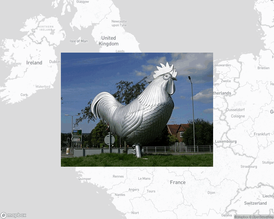
Dorking Cockerel, public sculpture in Dorking, Surrey, England.
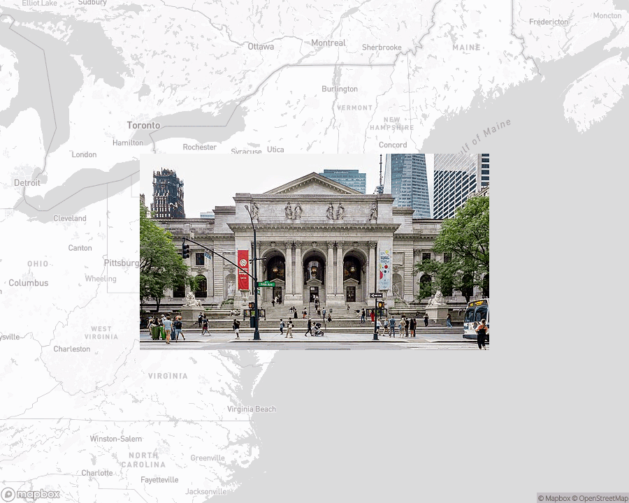
New York Public Library, public library system in New York City.
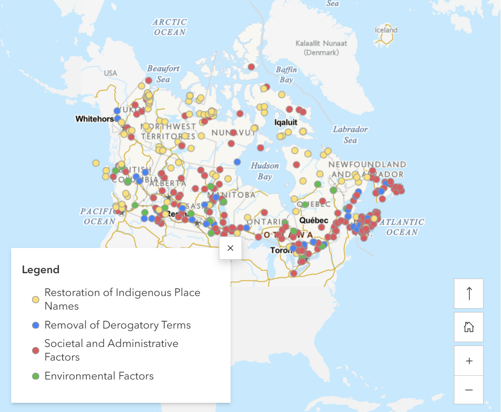
New Map Alert 🗺️
Natural Resources Canada has released a new StoryMap: Canada’s Evolving Geographical Names. It explores over 100 years of name changes including the recognition and restoration of indigenous place names. Check it out when you can.
https://ow.ly/e52a50WJ9Fu
#naturalresourcescanada #gis #gischat #mapstodon #Indigenous #map #maps #GNBC #geographicalnames
Pspsps #Fediverse
I'm collecting info for a Federated #Map server. Something that would let people share info and comment on what's going on at specific places out in the world.
There are lots of ways this might be useful to our community, so I've written a super-rough-draft spec on my website.
https://benpate.dev/annotated-maps
Just like #Bandwagon, this app would sit on top of #Emissary so most of this is already built. We just need to connect the dots.
#AskFedi #FediHelp
https://mastodon.social/@benpate/115335093845889524
